Today was Sleeping Bear Dunes National Lakeshore, one of three national lakeshores in the US.

Our first stop, after getting up and having a campground breakfast (I made Apple Crisp along with sausage, cheese roll), was about an hour north to Sleeping Bear Dunes Visitor Center. We did a quick spin around the center, getting an overview of the natural history of the lakeshore (plants, animals, and geology), and a strategy for touring the park. We all know how the Great Lakes were formed (by large, mile thick ice sheets), but what may not have known is that as the ice sheets retreated, the weigh depressed the crust of the newly formed lakes and water flowed north. Then as the ice melted further, the crust rebounded and the water flow reversed to what it is today , south and east -- water and ice are heavy....

From the Visitors Center: An example of a Petoskey Stone - hard to see but every little circle was an organism that was fossilized.

A more typical bivalve shell fossil.

Our tour strategy was to drive to the scenic, one -way loop that sampled the park's highlights -- the Pierce Stocking Scenic Drive (Stocking was a lumberman who developed the road to share the beauty with friends and travelers), with 12 signed stops. The first site was a covered bridge - we all know why they were constructed -- it is easier to replace the roof rather than the structure supporting the road, after weather decay.

Next stop on the drive was a first look at the dune country and the Cottonwood Trail. We walked the trail, getting intimate with the sand. The dunes are largely thousands of years of built up wind blown sand from ancient moraines. Grasses and low plants first stabilize the sand, which allows shrubs and trees to take root and build a layer of topsoil. The "climax" of this progression is a hardwood forest of Beech and Maple trees, which can be very beautiful.

On the trail.

The Dune Climb -- note the parking lot on the right side of the photo and the people walking up.

Little Glen Lake, an example of how the original Lake Michigan edge is reshaped smoothly land that juts out is eroded to fill in the inlets, often leaving isolated lakes behind). This whole area is covered with lovely lakes. We learned that most lakes have a brownish tinge as water flows in from streams laden with tannins. "Crystal" lakes are filled from groundwater sources, so no tannins.

The penultimate spot on the drive was the Lake Michigan overlook -- note the platform and the many other tourists.

There is an impressive slope of steep sand which attracts people to run down 400 feet or so. Of course, they need to climb back up, which is not easy. By using a level app on my phone, I estimated the slope angle at 36 degrees.

The top bluff.

View looking south to Empire Bluffs. You can see how steeply the dunes rise from the lake.
After the drive, we went slightly farther north to Glen Arbor, a resort area with kayak/float trips on the Crystal River. We were looking for the Port Oneida Historical Area, found nothing other than a nice summer camp and a few farmsteads. Crystal River is a short, meandering creek flowing from Glen Lake across a 2-mile land barrier to Lake Michigan.
We drove south to Manistee, directly into town for dinner at TJ's Pub (Stormcloud IPA, Shandy, Duck wontons, and salads). The Manistee River splits the town in two and, after dinner, we strolled along a pleasant board walk to the park and jetty where the river flows into Lake Michigan. We passed a a few marinas with sail boats and fishing cruisers, some attractive townhouses, and saw two small deer herds. A curious thing, how we see more "wildlife" in urbanized areas than we do in the outback . . .

TJ's Pub.

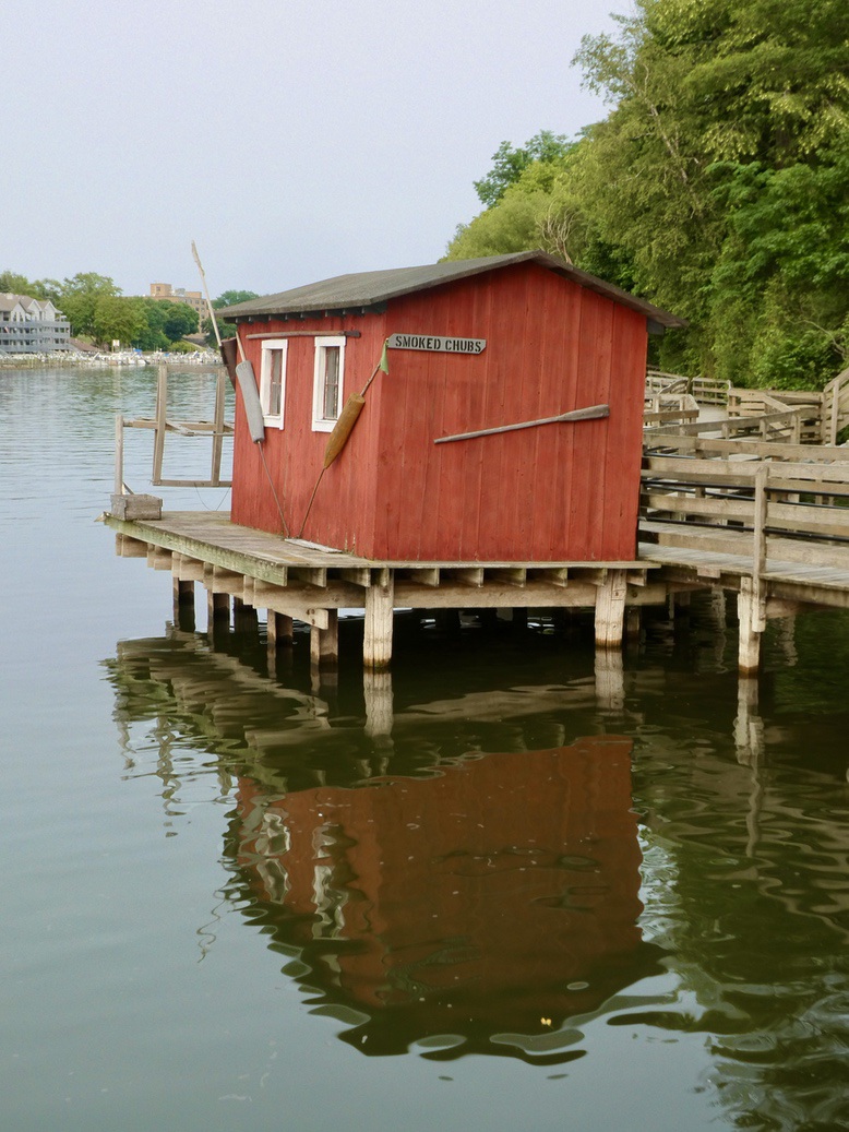
Along the River Walk -- both sides lined with docks and various types of boats.


The Lighthouse at the entrance of the river at Lake Michigan.
We returned to the campground in time for bed. Tent camping is fraught with difficulties, since most folks come with monster RVs that have annoying lights that burn all night and machinery that runs all night. Campers also tend to keep fires burning in the fire pits too much of the time. It's hard to see stars or hear birds with that kind of annoyance in the background. But the Michigan State Parks have good facilities, with flush toilets, showers, lots of hot water, electricity and conscientious staff.
Onward we go.....
Looks very beautiful. C
ReplyDeleteThis is an area I know pretty well... having been there many times. Have relatives with a cottage in Leland, between Lake Leelanau and Lake Michigan. Beautiful up north!
ReplyDelete