A catch up record for the past three days. On Monday, we spent the day walking in McKittrick Canyon in the Guadelupe Mountain NP. On Tuesday, we toured Carlsbad Cavern and hung around to see the free tailed bats fly out of the cave entrance for their nightly feeding trip. And today, Wednesday, we left White's City, NM and drove to Las Cruces, NM by way of McGinn's Pistachio Emporium and White Sands National Park. We stayed for the night at a nice B&B in Las Cruces - Lundeen Inn of the Arts.
Here are a variety of photos that highlight these 3 days:

The route and other information.

One of several stream crossings.

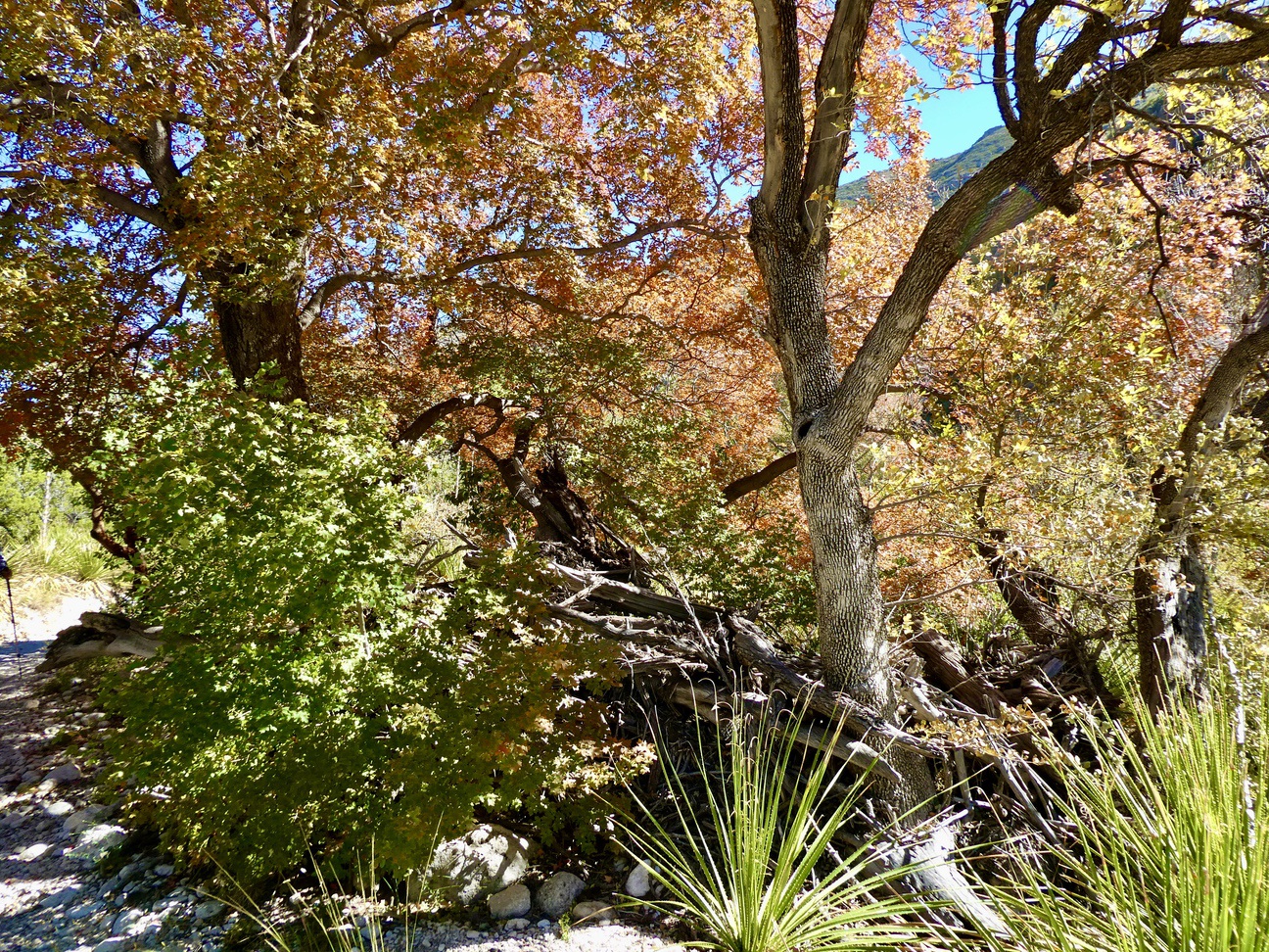
Fall colors.

My brother Paul

My sister Elaine and Betsy.

Pratt's cabin ( no relation to Betsy). Built in the 1930s. Pratt was a geologist and fell in love with the site. The cabin is roofed with flat rock, and is still furnished.


More fall colors, care of maple trees.

Possibly a fossil in some exposed shale, which is way older than the limestone rock overlaying it - the white leaf or twig is the fossil, not the penny.
Day 16 - Carlsbad Caverns.

Visitor Center for Carlsbad Caverns which sits on top of the marine reef - see subsequent photos.

The ancient reef was built by algae and sponges, layer upon layer.


Note the reef and the location of the cavern. Water dissolves limestone, as you may already know.

Carlsbad is celebrating its 100th anniversary as a National Monument and later as a National Park.
We entered the cave by an elevator that drops 750 feet to the main cave area. We participated in an 1 and 1/2 hour-long, ranger-led tour of the King's Palace room and then we self-guided ourselves on the 1+ mile path around the Big Room. Our guide provided background and context, plus a few corny stories. He shared samples of actual fossils that he has collected - it was cool to hold a tiny ammonite and a fist-sized trilobite. The caverns were used by Native Americans, but a young cowboy named Jim White was the first settler to find and explore the caverns, in the 1920s, using ropes, ladders and lanterns.


Drapery formation.

"Bacon" type drapery - red streaks are formed by iron.


A small pool.
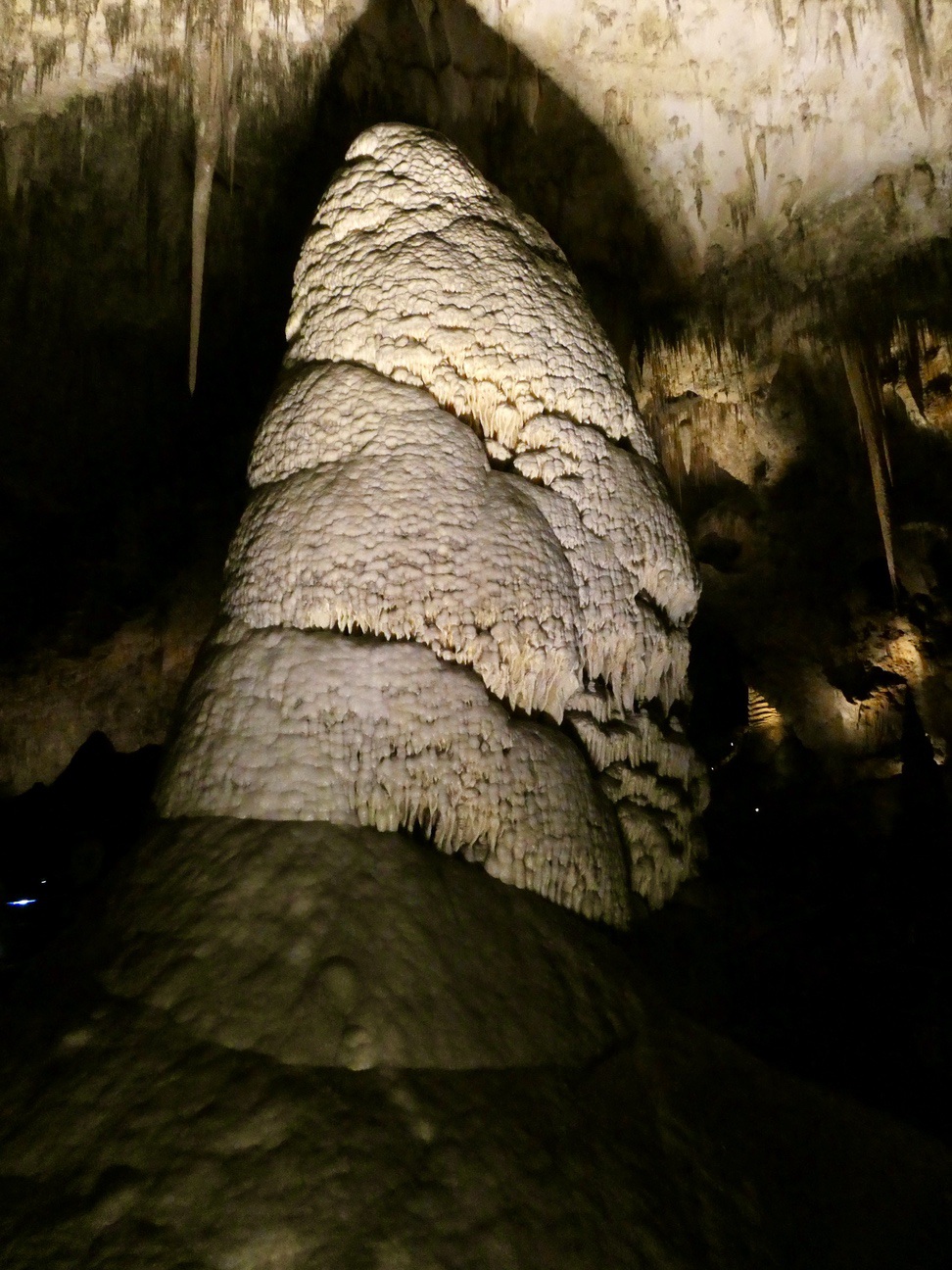
A pillar

A column that I called a "Bearded Gnome."


The natural cave opening (still used by visitors who want to make the long trek down). The bats come out of this opening, circle around counter clockwise and then fly off to the east in search of moths and other insects. An amphitheater was built in the 1930s for visitors to watch the daily display but all electronic devices, phones and cameras are prohibited and thus no photos. We and about 50 other folks waited about an hour and half for the bats to emerge. For the first 30 or 40 minutes, a young Ranger answered questions about the bats and the cave. Besides no photos, we were asked to remain silent as the bats flew out. For those who have seen the nightly bat flight in Austin, Texas, this is the same species as there, Brazilian free-tails.
Day 17: Travel day from White's City to Las Cruces.


Texas Longhorns on display in New Mexico

The largest pistachio, at McGinn's, where we enjoyed some handmade pistachio ice cream and bought some nuts.


Pistachio tree
Our next stop was White Sands National Park.

The dunes are wind blown gypsum that starts as crystals that then get pulverized into sand as fine as talcum powder. The dunes are largely held in place by moisture a few inches below the surface.


It takes winds of about 15 mph or higher to move the gypsum and to break it into finer particles.

The Visitor Center.

White Sands was a National Mounment until 2019, when it was upgraded to a National Park. Some of the signs leading to the park have not been changed over.

The Georgia O'Keefe room at the Lundeen Inn of the Arts B&B.

The main living room at the B&B., full of history, art and character.

Sunset.

Dinner was at Lescombes Winery and Bistro, the largest wine maker in New Mexico. Betsy and I shared a wine flight of 4 very good wines with some unusual grapes (a bubbly rose, a white, a rose and a red). The grapes are grown at vineyards two hours west of here and the wine is made in Deming, one hour west of here.


